Welcome to France

We have studied our local area and got a good sense of WHERE we are in the world. We’ve also looked at our local culture and history to better understand WHO we are and HOW Barnsley was shaped.

We’re now going to compare all of this to a contrasting location, France.  Our closest European neighbours.

We always start our topic studies with WHEN and WHERE so we have made a map of France. BUT! We’re Year 4! You didn’t think it would be as simple as that did you?

Mr Swallow gave us a blank map of France and lots of places to look for IN FRENCH!!!!

Thats right! We had to read the locations and find them on maps written in English. It’s a good job we are clever! We soon figured out that some of the places were cities, some rivers, seas or oceans and even some mountain ranges.

All of the places were not on 1 map. We had to use a POLITICAL map to find anything made by humans and a PHYSICAL map to find the natural locations!!! Wow.

Print Friendly, PDF & Email

We have been looking at the art of Sheffield-born artist, Pete McKee

We love his pictures so we wanted to analyse his style.  That means we want to figure out what makes a typical McKee painting, a McKee painting.

We spotted that he uses:

  • Bold, cartooney colours.  The colours have shadow details too.
  • Simple style, don’t use too much detail
  • You hardly ever see peoples eyes or mouths

We soon realised that there was much more to a McKee than the type of drawing though…we noticed quite a bit about the subjects he paints:

  • They are typical Yorkshire people doing things we all like to do…visiting the coast, watching footy, eating chips
  • They wear typical Yorkshire clothing, like flat caps and football shirts (unfortunately of Sheffield teams rather than Barnsley!)
  • There are often typical Yorkshire landmarks or scenery in the background (we spotted the rainy weather in the cafe scene Mr McKee!)

We decided to use all these elements to create our own Pete McKee-style artwork.  So, Mr. Swallow sketched out a few ideas about things that mattered to him (his brother helping him on his house, his father-in-law blowing on his cup of tea and even a Yorkshire pudding!)

We then looked at how to import the sketches into the computer and reformat them so that we had a digital copy of the sketch.  We then used the program, Paint, to colour in the pictures digitally…re-creating that distinctive, Pete McKee look.  Here is our progress so far…


Print Friendly, PDF & Email

Birdwell Explorers

We took our overhead maps of Birdwell and set off on foot to see what we could add.  There are so many businesses and special locations in our village that it’s quite surprising when you note them all down!

We also had some areas of our map that were incomplete so we had to ‘fill in the blanks.’

Print Friendly, PDF & Email

Challenge 4 – Nile Valley know-how

Here, the children are going to apply their knowledge of the Nile valley and their understanding of the water cycle.

Can the children explain how it all works and links in together to you at home?

We did have another video that we wanted to upload but unfortunately names were mentioned! Ask your child at home if they can retell the water cycle process 🙂 

Nile River Map, Nile River Facts, Nile River History - Journey To Egypt


Print Friendly, PDF & Email

Our Birdwell maps

We used our local walk to redraw the ariel map of Birdwell as it actually is now…

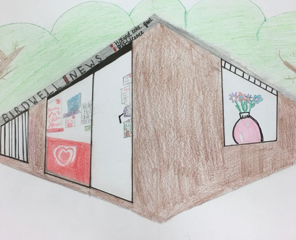
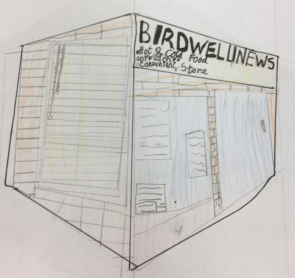
We also learned some 3D drawing techniques to draw some of the places we saw from a ‘Street View’ perspective…Mr Swallow showed us how to use “vanishing points” (thats posh for 2 dots on the paper) and straight lines to draw buildings that got bigger as they got closer or smaller as they got further away.

We tried the technique ourselves and they are amazing for a first go at isometric drawing

Print Friendly, PDF & Email

Our local walk

We took to the streets to investigate the differences between the ariel photographs of Birdwell that we have studied and the real Birdwell.  We spotted new houses that have been built, new businesses such as Aldi that have opened as well as the whole new commercial development near the motorway.

We mapped out the changes and took plenty of photographs as we went so we could make our own, up to date ariel maps of the village.

It was a bitterly cold day but we really enjoyed exploring.  We even had time to try our luck for a cup of tea at Charlie’s house!  What we noticed is that there are far more businesses in Birdwell than we realized and also that do live in a wonderfully green and natural location.


Stay tuned to see our Birdwell maps…

Print Friendly, PDF & Email

Birdwell from above

As part of our topic, we have used a range of maps and atlas.  Next, we are going to see what Birdwell looks like from space using ariel photographs.

Can we use them to find our way around and describe what we can see?  Are the photos and up to date representation of our village?  Can we improve them?


Click the link to see BIRDWELL FROM SPACE…

Birdwell sat map

Print Friendly, PDF & Email

Test match Victory!!!

Well done to the English “Pommies” for winning our own version of the Ashes. There were only 3 runs difference in the final score and only 1 run separates the teams over their 3 matches!!!!!


it didn’t seem fair to only give 1 team their “Ashes” trophy full of ice pops so wee all had a walk to the shop for some!!!

Print Friendly, PDF & Email

Year 4 are taking part in their own version of The Ashes

We have split the class into “Aussies” and “Pommies” and we are playing a 2-day test match for the Ashes trophy.  The real Ashes are the burnt remains of the original wicket…we didn’t fancy playing for that so our ashes trophy is filled with sweets instead!

Our ‘friendly’ practice match was won by the Aussies by just 1 run!  Team captain, Elliot, led his team onto the wicket and made sure they all shook hands with the English team.  Both sides are keen to get on with the test match and see who will win the trophy full of sweets!

Print Friendly, PDF & Email

Unit 2 is all about the special places in Australia

We have used a 3D design program called Sketch Up to make models of the Opera House and Harbour Bridge in Sydney!  It is really tricky to work in 3D because you have to rotate the model to work on different parts and sometimes the program tries to “guess” what you are trying to do and help but gets it wrong so you have to find a different way of solving the problem!

Sketch up is free to use on a laptop or PC at home if you sign up for it.  To have a go, visit:

https://app.sketchup.com/app?hl=en

Take a look at what we have designed so far:

The Harbour Bridge by Isla & Lucy


Print Friendly, PDF & Email